

Geography
Year 7
Topic 1
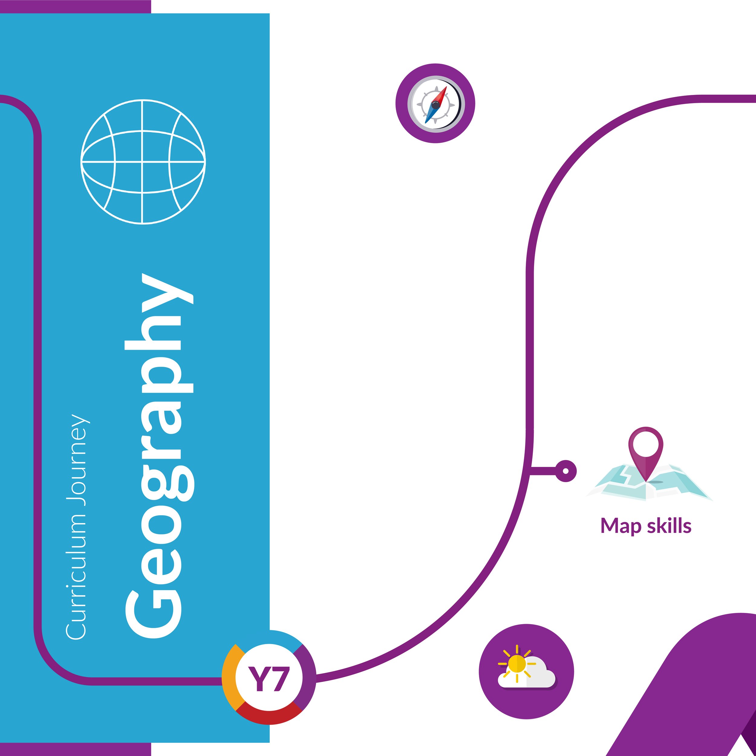
Map Skills
-
In this topic we start by introducing the term ‘IDEAL’ to help young geographers to develop their geographical knowledge and understanding throughout KS3.
We build on student’s understanding of maps, covering location, map symbols, different types of map (human, e.g. political, and physical, e.g. relief), scale, 4- and 6- figure grid references, height, longitude and latitude. -
The ideas pupils will understand and the words they will be able to use.
Identify
Describe
Explain
Assess
Link
Location
Continent
Map
Ocean
Europe
Hemisphere
United Kingdom -
All lesson resources, including a knowledge organiser, are posted in the relevant files section in the Teams class.
Fortnightly homework is posted on Teams and due on the day of the geography lesson.
Invest in an OS map of your local area and go for a walk! You can buy find out more here https://osmaps.com/
-
Topic 2
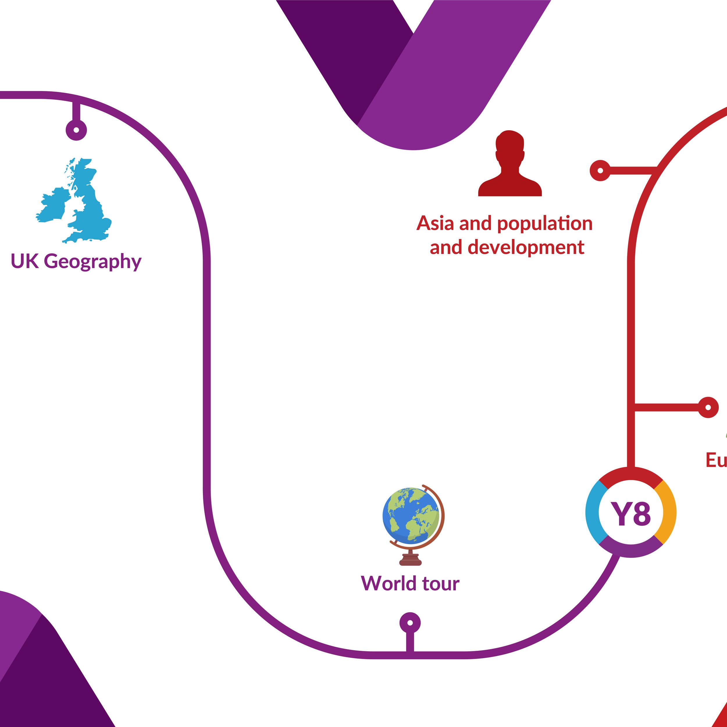
UK Geography
-
Topics covered in this unit:
Political boundaries of the UK.
The geology of the UK and how this impacts the physical landscape.
The human geography of the UK including the location of key settlements.
Holderness coast case study – issues and management strategies.
Population and immigration in the UK.
Changing UK economy and how it has changed over time.
UK weather and climate including flood risk and management.
-
The ideas pupils will understand and the words they will be able to use.
Geology – The type of rock (sedimentary, igneous or metamorphic).
Erosion – The wearing away of land by forces of nature such as water or wind.
Settlement – a place where people establish a community such as a village, town and city.
Migration – Movement of people from one place to another.
Economy – Production and consumption of goods, services and money.
-
All lesson resources are posted in FILES-CLASS MATERIALS on your child’s geography team.
Fortnightly homework is posted on TEAMS.
Watch the news together (Newsround and BBC).
‘First News’ weekly newspaper subscription covering current topics in a student-friendly format.
-
Topic 3
World Tour
-
World Tour is aimed at giving students a taste of geographical themes and issues on a global scale, taking them on a virtual tour of issues in different global locations.
This unit is intended to broaden their horizons and to develop their understanding that local actions can have global consequences.
Each lesson will explore a different issue in a different place around the world.
They will be introduced to basic geographical graphing and map skills to add to their Geography skills toolbox.
-
In our World Tour unit we will explore:
Practicing global mapping skills to familiarise students with each study location.
The opportunities and challenges in megacities (Tokyo, Japan).
The a large-scale hydroelectric power scheme in China.
The plant and animal adaptations in the Sahara Desert.
The impacts of deforestation in Madagascar.
The causes and impacts of the 2018 tsunami and earthquake in Indonesia.
The opportunities and challenges of sustainable urban living in Curitiba, Brazil.
The challenges and opportunities of living in squatter settlements in South Africa.
The causes, effects and response of Typhoon Haiyan in the Philippines.
How wildfires in California led to social, economic and environmental problems.
-
Please ensure your child is keeping up to date with current world affairs, particularly natural hazards like volcanoes, earthquakes, tropical storms and extreme weather events in the UK.
Homework is set every two weeks for year 7 on Microsoft Teams – please ensure your child is completing this work to the best of their ability.
-